Africa
Egypt's pyramid age
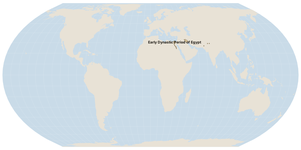
Egypt's Old Kingdom is at its height, and the great pyramids at Giza are being built. Sumerian city-states and the Indus cities are also flourishing.
Why it matters
A unified Egyptian state can organise labour on a scale that outlasts its rulers.